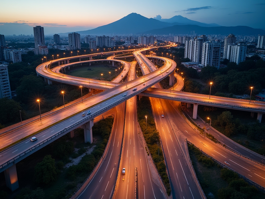
Transforming Infrastructure Data into Urban Intelligence

Rigorous analysis of the impact of new roads and highways on community development, real estate values, and sustainable growth in Guatemala.

150+
Projects Analyzed
12
Departments
5 years
Of Research
Request Information
Modern transportation infrastructure in Guatemala

Comprehensive Infrastructure Analysis

We combine advanced technology, data analysis, and local expertise to provide accurate insights into the impact of road projects on Guatemalan communities.

Price Analysis

Detailed evaluation of the impact on property values before and after road infrastructure construction. We use econometric models to identify real valuation patterns.

Territorial Mapping

Geographic information systems that document changes in accessibility, connectivity, and area development. Precise spatial analysis of urban growth corridors.

Social Impact

Research on how infrastructure improvements affect mobility, economic opportunities, and quality of life in communities. Focus on inclusive and sustainable development.

Analysis team working with data

Evidence-Based Methodology

Our research is grounded in systematic information collection, robust statistical analysis, and cross-validation from multiple sources. Every conclusion is backed by verifiable data and transparent methodology.

We work with public records, cadastral data, real estate transaction information, and field studies to build a complete picture of infrastructural impact. The result is actionable intelligence for planners, investors, and decision-makers.

  • Data collection from verified official sources
  • Statistical analysis with advanced econometric models
  • Validation through fieldwork and local verification

Three Pillars of Our Research

Our approach is structured around three fundamental components that ensure depth, precision, and relevance in every analysis we conduct on infrastructure projects in Guatemala.

01

Preliminary Research

Identification of road projects, collection of historical data, analysis of official documentation, and establishment of baselines for impact measurement.

02

Quantitative Analysis

Statistical processing of information, econometric modeling, time series analysis, and evaluation of correlations between infrastructure and development.

03

Validation and Reporting

Verification of findings through fieldwork, consultation with local experts, and presentation of conclusions in accessible and actionable formats.

Urban development and planning
Infrastructure data visualization

Advanced Analysis Tools

We use state-of-the-art technology platforms to process large volumes of information and extract meaningful patterns. Our technology stack includes geographic information systems, statistical analysis tools, and data visualization platforms.

This combination of technology and human expertise allows us to identify trends that are not evident at first glance, providing valuable insights into how infrastructure shapes urban growth in Guatemala.

Big Data Analytics
GIS Systems
Advanced Visualization

Measurable Impact on Communities

Our research has documented significant transformations in areas affected by new road projects. The data reveals consistent patterns of improved accessibility, increased property values, and expansion of economic opportunities.

These findings provide crucial evidence for informed urban planning, enabling authorities and developers to make decisions that maximize community benefits while minimizing disruptions and ensuring sustainable growth.

28%
Average increase in real estate values
40%
Reduction in travel times
Road infrastructure construction
Urban planning and development

Information for Sustainable Development

Urban growth requires strategic planning based on deep understanding of territorial dynamics. Our work provides the informational foundation necessary for decisions that balance economic development with environmental preservation and social equity.

Through detailed analysis of how road infrastructure catalyzes urban transformation, we help identify opportunities and challenges in Guatemala's development. This information is fundamental to building more connected, efficient, and livable cities.

The data we generate serves as a tool for multiple stakeholders: municipal governments planning urban expansion, developers evaluating potential locations, and financial institutions analyzing investment risks and opportunities.

Request Detailed Information

Interested in learning more about our research or need specific analysis for a project? Complete the form and we will contact you to discuss how we can provide valuable insights.

Contact Information

3era call 6-72 Sector A-3 zona 8 de Mixco Blvrd. San Cristobal, 6A Avenida A 3era, Cdad. de Guatemala
+502 2499 9990
contact@iniciopropio.com

Information that Drives Strategic Decisions

Discover how our analysis can provide clarity on urban development trends in Guatemala

Start Conversation